 The namesake
Bremer Canyon
Cuts into the shelf
- Group
- Albany Canyons
- Feature
- Upwelling path
- Orca hotspot
- Yes
Guides
Language
EnglishCurrency
US dollar · $GetYourGuide converts to the currency you select here.
Guide · The canyon
A submarine canyon off the south coast of Western Australia, inside a protected marine park. Where it lies, how deep the sea gets, and why so much life gathers above it.
Editorial team, bremer-bay-orcas.comUpdated October 24, 2026Read time: 6 min40 sources
The canyon in brief
The Bremer Canyon is a deep cut in the seabed off the south coast of Western Australia, out from the small town of Bremer Bay. Tourism Western Australia puts it 70 kilometres offshore from the town.1 The Shire of Jerramungup describes the canyon as approximately 70 km offshore from the town as well.7 Either way, it lies well beyond sight of land.
The research boats did not always need to go that far. In a peer-reviewed study, whale-watching vessels from Bremer Bay headed about 50 km south-east of the town.8 The killer whale groups the scientists described were sighted between about 34 and 36 km from shore.91011 The orcas follow their prey across the whole area, not a single point on the chart.
On a map of the Bremer Canyon you will not find a town or an island, only the edge of the continental shelf falling away into the deep. Our map below shows the town, the outline of the marine park that protects the canyon, and Fitzgerald River National Park on the coast to the north-east. Parks Australia describes the park as lying about half-way between Albany and Esperance.2
Milestones
December 2013
Proclaimed under the national environment law.4
February 2014
At least 20 orcas sighted about 36 km offshore.9
February 2016
A strap-toothed whale was attacked by 3 orcas at once.12
October 2017
The park is renamed Bremer Marine Park.4
March 2019
The first known killing of an adult blue whale by orcas.13
The Bremer Canyon is part of a much bigger system. Parks Australia describes the Albany Canyon group as a feature of 32 canyons, including Bremer Canyon, cut deeply into the steep continental slope.14 Geoscience Australia says the Albany Canyon complex stretches 700 km from Cape Leeuwin to east of Esperance and reaches up to 90 km offshore.15
Its neighbours have their own names. A Parks Australia flythrough of the seabed shows the Bremer Canyon with the adjacent Hood, Henry and Knob canyons.16 Geoscience Australia has mapped the park in multibeam bathymetry at 100 m resolution, showing the canyon and smaller canyons cutting into the outer shelf and slope.17
For killer whales the neighbours matter as much as the main canyon. A study from Edith Cowan University modelled where orcas were most likely to be found and flagged the Henry, Hood, Pallinup and Bremer canyons as potential hotspots.18 On the day, the skipper chooses where to search, and the orcas may be over any of them.
Fact file
| Measure | Figure | Source |
|---|---|---|
| Area | 4,472 km² | Parks Australia |
| Depth range | 15 to 5,000 m | Parks Australia |
| Average depth | 1,654 m | Parks Australia |
| Proclaimed | 14 December 2013 | Parks Australia |
| Canyons in the Albany group | 32 | Parks Australia |
| Albany Canyon complex | 700 km long | Geoscience Australia |
Figures for the marine park, the canyon group and the canyon complex.241415
Neighbours
The namesakeCuts into the shelf
 Close by
Adjacent to Bremer
 Close by
Adjacent to Bremer
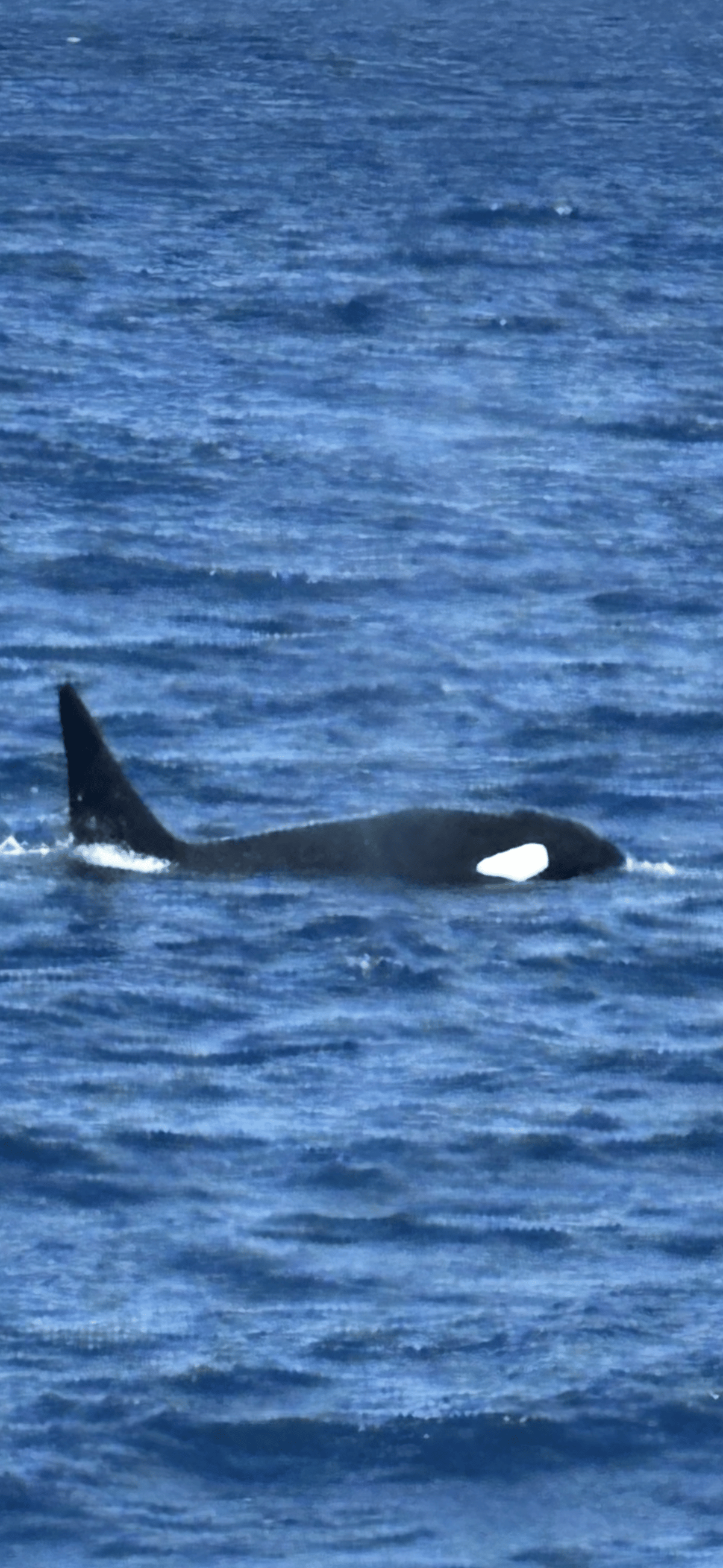
This provides a pathway for deep nutrient-rich water to upwell onto the continental shelf, and is thought to be part of the reason this area attracts such diverse and abundant marine life.
People often ask how deep the Bremer Canyon is, and the honest answer is that the sources give depths for the area rather than one figure for the canyon. Parks Australia says the Bremer Marine Park spans depths from 15 to 5,000 metres, with an average of 1,654 metres.2 That range runs from shallow coastal water to the abyssal deep.
The scientists who studied the orcas describe the wider Bremer Sub-Basin the same way. It covers about 11,500 square kilometres off the continental shelf, from Albany east towards Esperance.19 It holds a complex system of submarine canyons with water depths from 100 to 4,500 m.20
Geoscience Australia gives a sense of scale for the whole canyon complex: the largest canyons have cut down 1,500 to 2,000 m in places.15 Standing on deck over water that deep is part of the experience. The swell rolls in from the open Southern Ocean, and there is nothing between you and Antarctica but sea.
Map
The town and the Bremer Marine Park offshore, the coast from Albany to Esperance, and the long drive down from Perth.
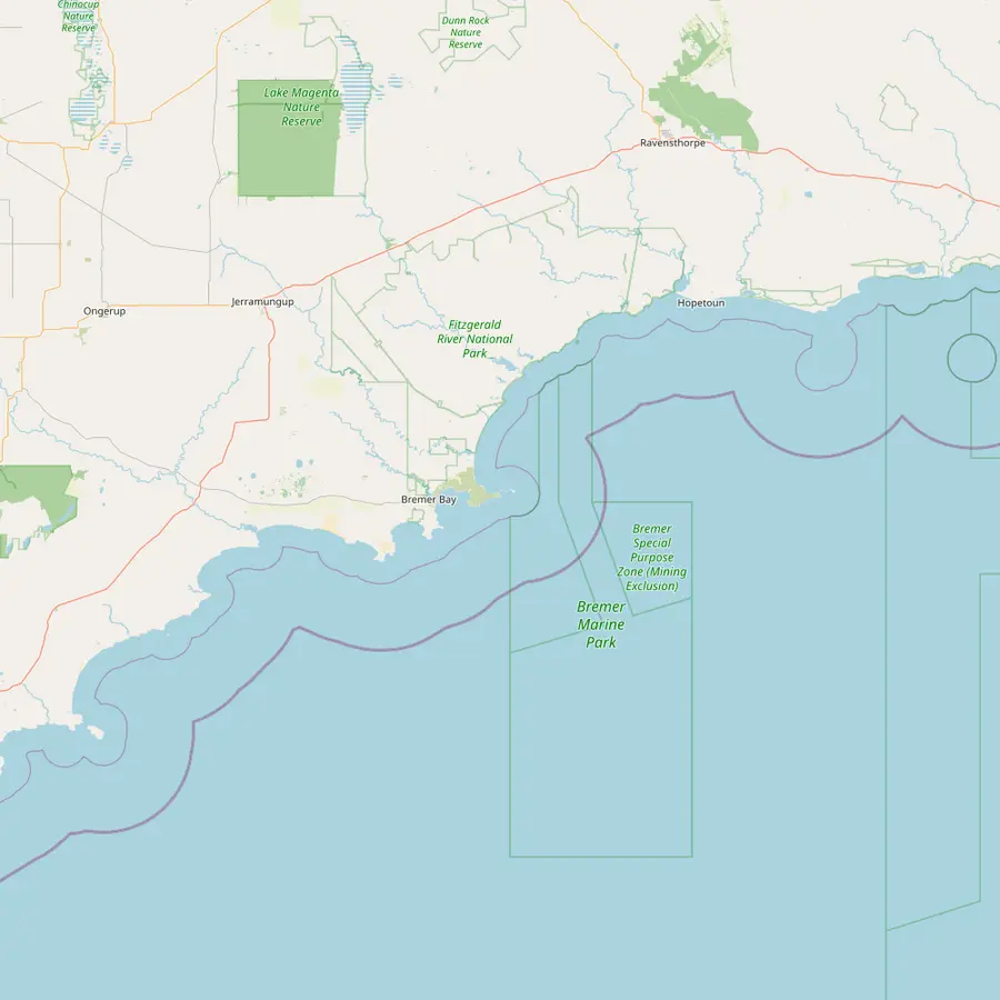 1Bremer Bay2Bremer Marine Park3Fitzgerald River National Park
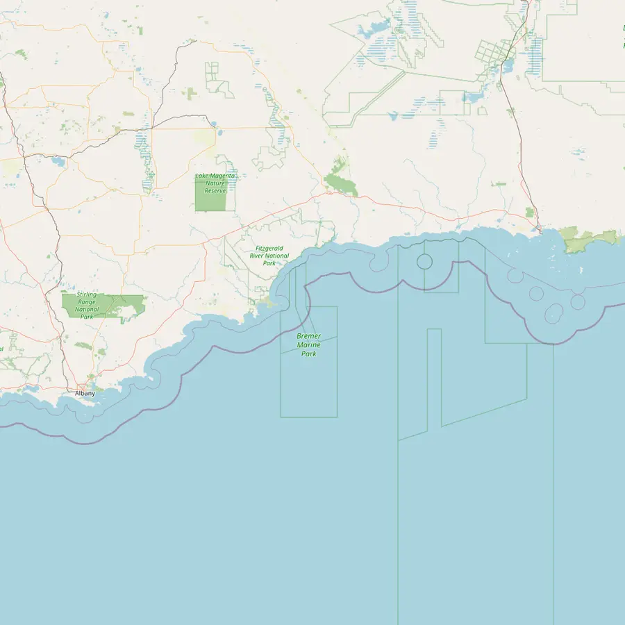 4Albany1Bremer Bay5Jerramungup6Hopetoun7Esperance
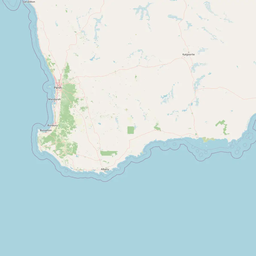 8Perth4Albany1Bremer Bay7Esperance
A town of 424 people at the mouth of the Bremer River.2122
In Google Maps ↗Holds the Bremer Canyon, which Tourism WA puts 70 km offshore from the town.51
In Google Maps ↗Home to 75 plant species found nowhere else, with whale platforms at Point Ann.2324
In Google Maps ↗Just under two hours by car west of Bremer Bay.25
In Google Maps ↗A stop at Lions Park on the Transwa coach line between East Perth and Esperance.26
In Google Maps ↗The Fitzgerald Biosphere Reserve stretches between here and Bremer Bay.27
In Google Maps ↗Rex runs daily flights between Esperance and Perth.28
In Google Maps ↗5.5 to 6.5 hours by road from Bremer Bay, depending on the Tourism WA page.2522
In Google Maps ↗Video
Nothing loads from YouTube until you press play.
The canyon works like a pump. Parks Australia explains that the park's undersea canyons funnel cool, nutrient-rich water upwards, which boosts marine life and in turn feeds marine mammals and seabirds.29 The Bremer Canyon is one of the few in its group that has cut into the continental shelf, which gives that deep water a pathway onto the shelf.3
The orca research points the same way. Killer whale numbers peaked where the water was cool and highly productive, which the authors link to seasonal upwelling of nutrient-rich water supporting abundant prey.30 The PLOS ONE study calls the sub-basin a biologically important area that attracts fish, sharks and deep-diving whales such as sperm whales.31
Parks Australia lists the biologically important areas inside the park: foraging habitat for seabirds, Australian sea lions and white sharks, a migratory pathway for humpback whales, and a significant calving area for southern right whales, while its canyons are important gathering areas for killer whales.6 The orcas are the headline, but they sit at the top of a crowded food web.
The canyon is protected as part of the Bremer Marine Park, one of Australia's Commonwealth marine parks. It was proclaimed under the national environment law on 14 December 2013 and took the name Bremer Marine Park on 9 October 2017.4 The park covers 4,472 square kilometres.2
It belongs to the South-west Marine Parks Network, which Parks Australia describes as 5 Australian Marine Parks off South Australia and 9 off south-west Western Australia, covering 508,371 square kilometres.32 The Albany Canyon group and its shelf break are listed as a key ecological feature for their productivity, gatherings of marine life and seafloor of regional significance.33
The park has a National Park Zone and a Special Purpose Zone where mining is excluded.34 Parks Australia also notes that the Noongar people have responsibilities for Sea Country in the park.35 For a visitor the practical upshot is simple: the water you sail over is protected, and the trip you book runs under a permit system.
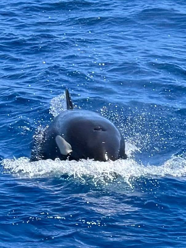
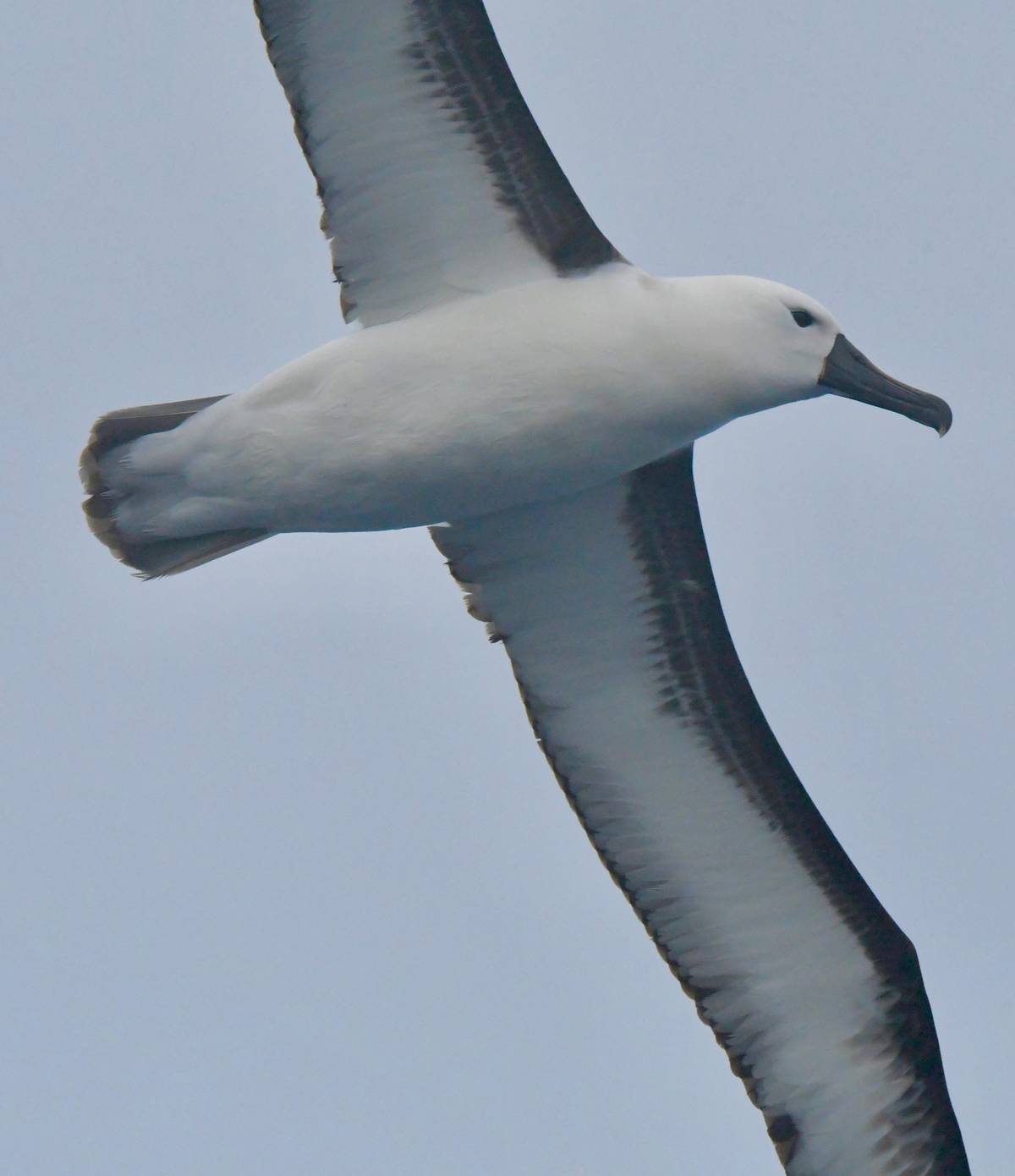
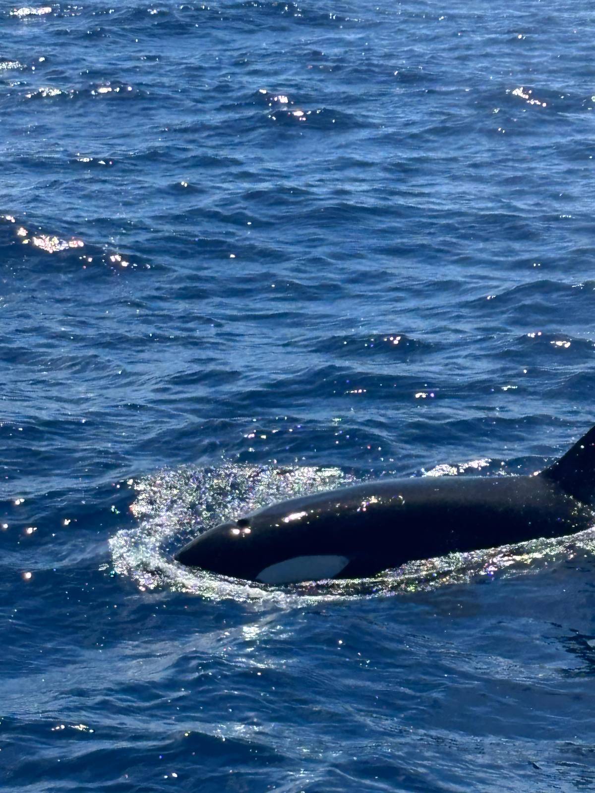
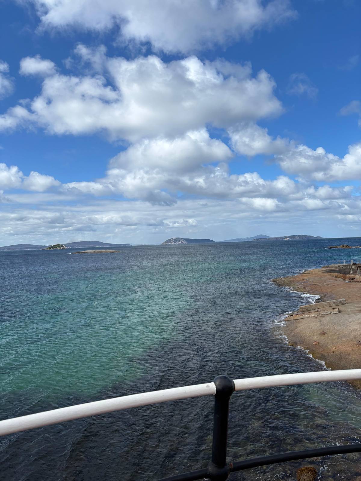
Do not expect to see a canyon. From the boat the Bremer Canyon is open ocean in every direction, with long swell, wind lines on the water and the occasional seabird skimming the waves. What tells you where you are is the life around you: blows on the horizon, birds working the surface, and the dark fins of a pod moving fast.
The booked expedition takes around 1.5 hours to cruise out, and the day lasts 8 hours in all, with a safety briefing before you leave the Bremer Bay boat harbour. It opens with a multimedia presentation on killer whale biology and ecology, so you know what to look for before the first fin appears.
Bring patience along with your camera. Hours can pass between encounters, and then the sea fills with animals all at once. A marine biologist on board explains what you are watching, and the listing says photos and a daily blog from the expedition are e-mailed to you after the trip, which frees you to watch rather than shoot.
Tourism, commercial fishing and recreation are all named by Parks Australia as important activities in the park.36 Nature-watching tours are allowed across Australian marine parks except in sanctuary zones.37 Anyone running nature-watching, charter fishing, scuba or snorkel trips in a marine park needs a current licence from the Director of National Parks.38
Fishing is more restricted. Across Australian Marine Parks, recreational fishing is allowed in every zone except Sanctuary Zones and National Park Zones, which are no-take.39 Beyond the park, the whole of Commonwealth waters forms the Australian Whale Sanctuary, where it is an offence to kill, injure or interfere with a whale or dolphin.40
The booked expedition keeps everyone on board: its listing does not allow swimming or snorkeling. You watch from the deck of the Alison Maree, with a marine biologist explaining what you see. That is the right way to meet animals this large in water this deep.
Pick your date
A marine biologist, meals and the day's photos included; cancel free up to a day before.
Off Bremer Bay, Western Australia. Tourism WA places it 70 kilometres offshore from the town.1
Very deep, but no single figure. The marine park around it spans 15 to 5,000 metres, with an average of 1,654 metres.2
Yes. It lies in the Bremer Marine Park, which contains the Bremer Canyon.5
Food. Deep nutrient-rich water upwells onto the shelf there, which is thought to draw abundant marine life.3
Not on the booked trip. The listing does not allow swimming or snorkeling.
Around 1.5 hours. That is how long the booked expedition's cruise out to the canyon takes.
No. It lies well offshore; the study boats headed about 50 km south-east of Bremer Bay.8
Sources